Geological Features Mayan civilizations were based on the highlands of Guatemala. From this location, the Maya spread out through Central America and Southern Mexico. On a current map, the Maya covered Guatemala, Honduras, Belize, parts of El Salvador and some current states within Mexico. The geographical diversity enables their territory to be divided into three regions: the Southern lands, the Central territory, and the Northern Province. The Southern Lands These lands included mountainous highlands, along with costal plains. This region was very hospitable with fertile soils, a moderate climate, ample wildlife and lots of natural resources such as wood, and stone. Mayan centres were developed in valleys but the people of this land did not experience the same cultural growth as other areas. The Southern lands were very important in Mayan civilizations due to their supply of golden-green feathers of the quetzal, which were used in ceremonial dresses, along with jade and obsidian. The Central Territory This territory was located in Tabasco, which is a lowland region with many rivers and dense rainforests. These rainforests contain mahogany, cedar, rubber, ceiba, breadnut, along with many other trees. The climate is very humid in this area with a high annual rainfall. This rain depletes the soil of nutrients making farming a very difficult task. The Central territory is where the Maya accomplished great cultural achievements through cities like Tikal, and Copan. The Northern Province The Northern Province covered the Mexican states and is by far the driest region of the three. With very few rivers, the vegetation is mainly shrub thickets and brushwood. The Maya people obtain their fresh water through some natural limestone walls, and small inland lakes. Although there were very few natural resources in this area, the Mayan culture advanced in the Northern Province with important building like Chichen Itza. 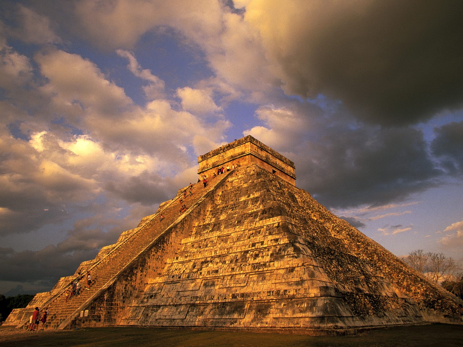 |   |
